-40%
USGS WYOMING GEOLOGY of the FORT LARAMIE AREA, Platte & Goshen Counties URANIUM
$ 5.28
- Description
- Size Guide
Description
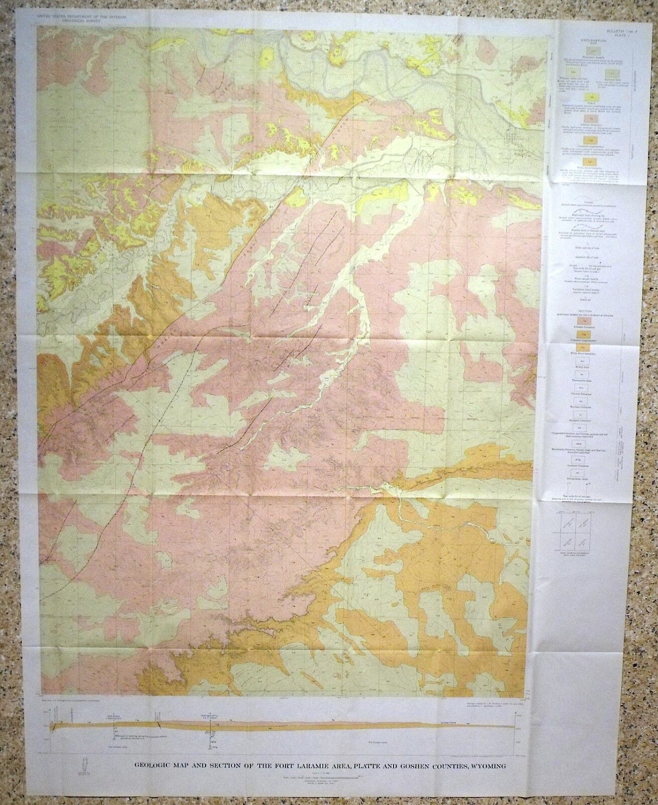
This is USGS Bulletin 1141-F, “Geology of the Fort Laramie Area, Platte and Goshen Counties, Wyoming
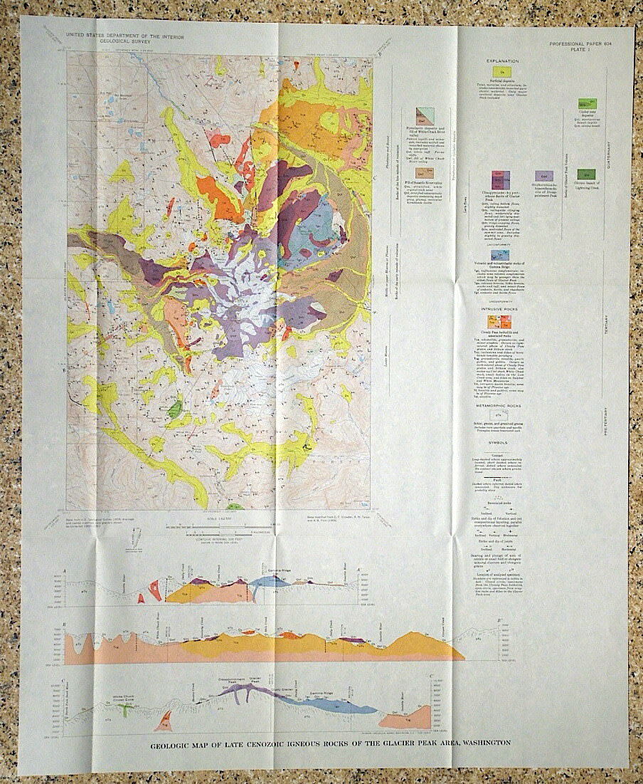
.” Published in 1963, this is a pretty scarce item! This bulletin consists of the 39-page book and ALL THREE OF THE ORIGINAL GEOLOGIC MAPS. One of the maps is a large full-color map of the entire area. The county line splits the area
almost
evenly. The study area is between Wheatland and Torrington.
This study surveyed an area of about 200 square miles, with smaller focal areas discussed in greater detail. Rocks in the area range from Mississippian to Tertiary in age, and includes Mesozoic rocks known for uranium
deposits
in
nearby
areas. Some uranium was found in water samples within the study area, but that was 1963, and who knows how much uranium was found in later years.
This is a nice report on this area, with good, complete descriptions of the geology, and a really nice color map to make it all come together. It would be of interest to mineral collectors, uranium prospectors, or local historians, or just about anyone that wants to give this large area a closer look.
Shipping weight is 7 ounces. Shipping by Media Mail is provided to save you a bit.
I will continue to add new items to my store, so check back periodically.
Expert Packing Assured.
®
ROCKWILER
