-40%
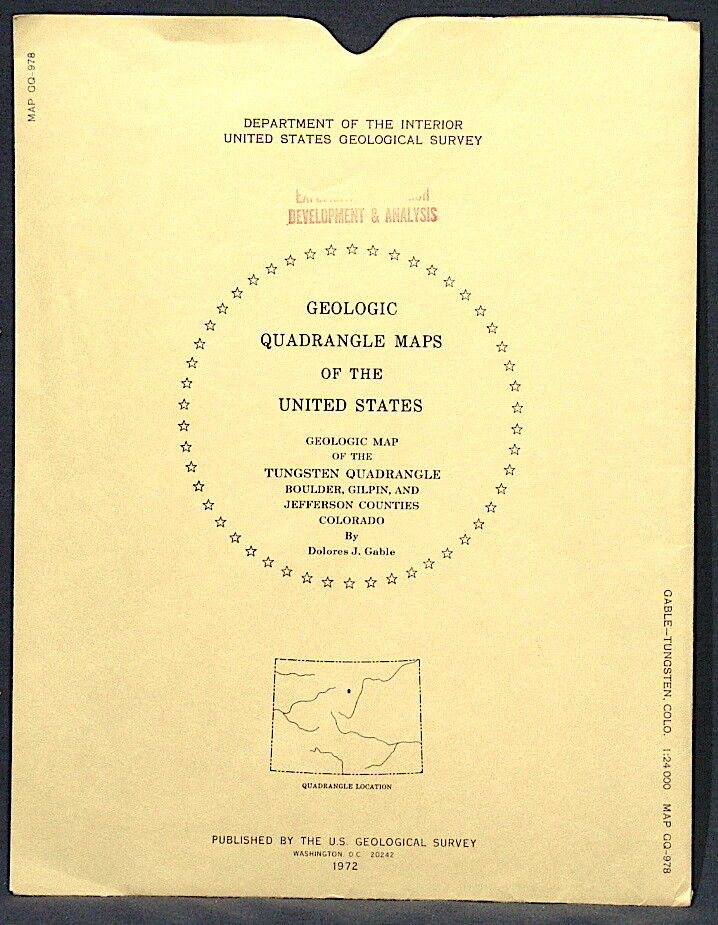
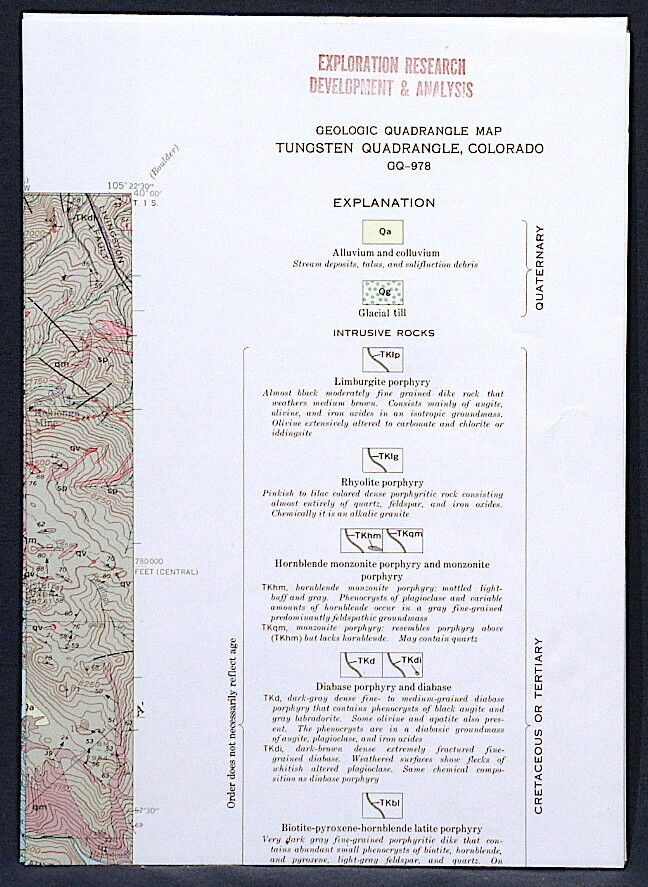
USGS TUNGSTEN, COLORADO GEOLOGIC MAP, Full Color Map, Original Sleeve 1972
$ 5.75
- Description
- Size Guide
Description
SCARCE ITEM!!This is USGS map GQ-978,
Geologic Map of the Tungsten Quadrangle, Boulder, Gilpin, and Jefferson Counties, Colorado
. Published in 1972, this is a nice item depicting the complex geology of this gorgeous area. The map is beautifully colorful, and really would look nice framed. The locations of some historic mining areas are noted and named. Numerous shafts are shown, and the traces of veins across the surface are shown. There are many, many veins, mines, and prospects in the area. The community of Tungsten is in the NW corner of the map. The rocks range from Pre-Cambrian to Tertiary and are of a variety of types. All in all, this is a cool item that would look great on the wall of a vacation home or business in the Tungsten area, or just kept for study and enjoyment.
Please read the condition notes for this item. I used old photos - This one does not have the red stamps on the sleeve and map. Much nicer!
I may have other Colorado maps listed, so check my other items.
Expert packing assured. Note that as a map this does not qualify for Media mail and must go by First Class mail. Priced accordingly.
Visit my store,
Rockwiler Books and Minerals.
I will continue to add items to my store, so check back frequently.
®
ROCKWILER
