-40%
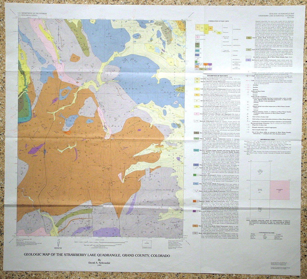
USGS STRAWBERRY LAKE, COLORADO Geologic Map, COLORFUL MAP of PRECAMBRIAN etc.
$ 6.28
- Description
- Size Guide
Description
ONLY TWO LEFT!!!This is USGS map GQ-1764, “
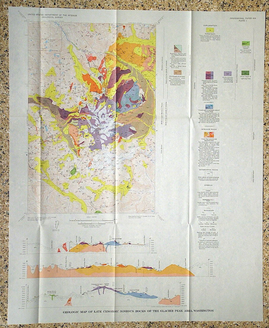
Geologic Map of the Strawberry Lake Quadrangle, Grand County, Colorado
.” Published in 1995, this is a nice item depicting the interesting geology of this area. This 7.5-minute quadrangle map is quite colorful, and really would look nice f
ramed.
Formations range in age from Precambrian through Mesozoic to Tertiary and include a wide range of rock types. Most of the map area is Precambrian metamorphic and igneous rocks. Strawberry Lake and Hankison Reservoir are in the north end of the map, toward the east and west, respectively.
All in all, this is a cool, colorful map that would look great on the wall of a home or business in the area, or just kept for study and enjoyment. Measures 31 x 27.5 inches.
I have other Colorado area maps listed, so check my other items. Look for the Granby Quad geologic map, which is the map just west of this one.
I will continue to add new items to my store, so check back periodically.
Expert Packing Assured.
®
ROCKWILER
