-40%
USGS OIL & GAS near BEARPAW MTNS Philips, Blaine, Chouteau counties MONTANA 1924
$ 8.44
- Description
- Size Guide
Description
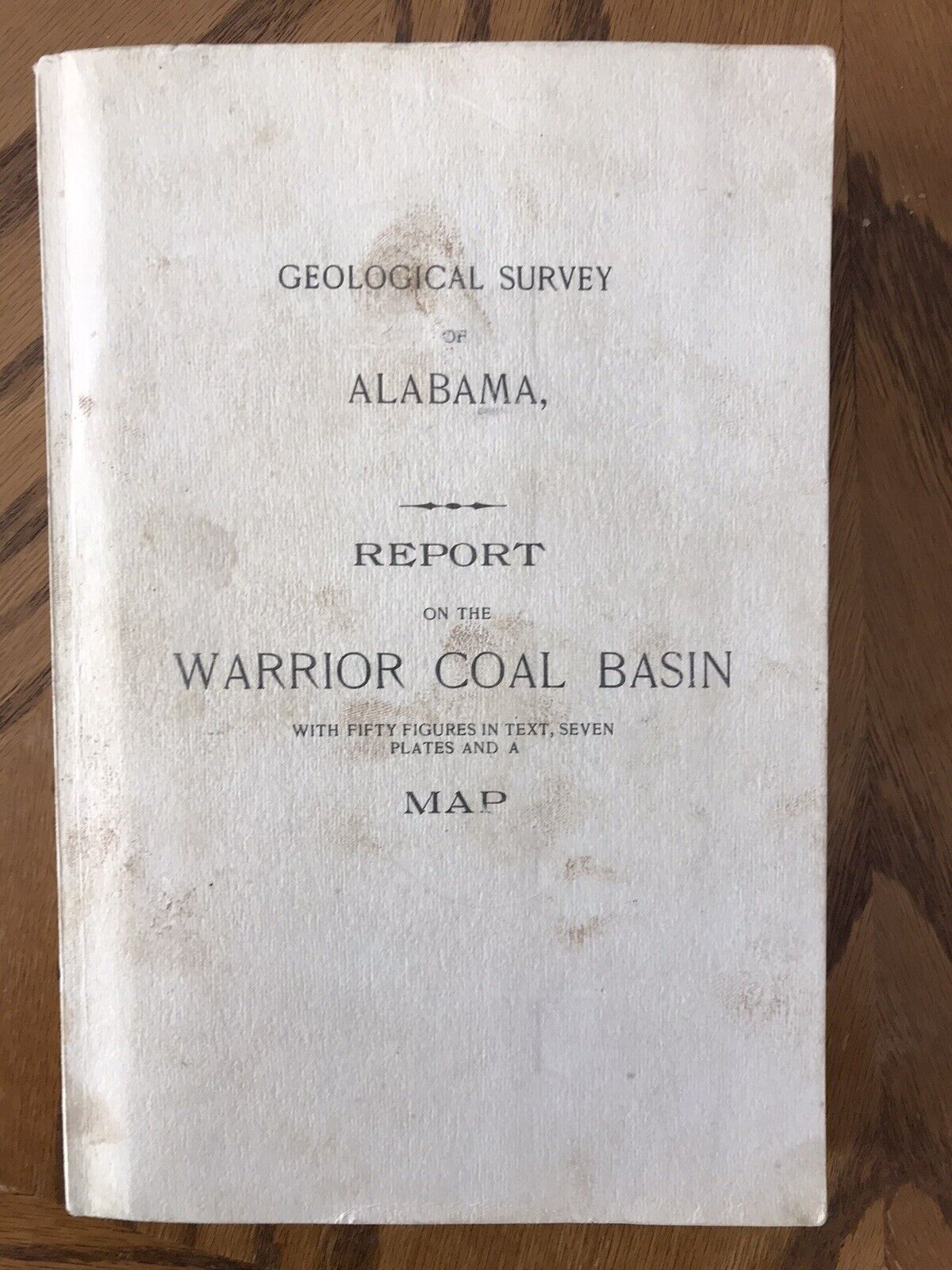
RARE REPORT WITH LARGE COLOR MAP!! VINTAGE 1924!!This is USGS Bulletin 751-C,
Geology and Possible Oil and Gas Resources of the Faulted Area South of the Bearpaw Mountains, Montana
. Published in 1924, this is a scarce old item. Philips county is in the east and Chouteau county is in the west of the area. This 44-page book comes complete with:
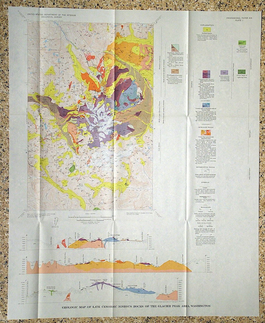
The original large full color geologic map
A fold out map in the text
A fold out strat column
A fold out chart of the formations
A panoramic photo bound into the book
This is a great old report that details the geology of this open area.
The rocks of the region are general flat-lying Cretaceous rocks, but in this area show more complex structure. The report describes all the formations and the structures that have shaped them, which include thrust faults and folds. The area also has late intrusive rocks in a number of areas. Cretaceous rocks in the region are known for coal beds, and gas so the possibilities for gas and oil made sense in this area, and the folds and faults could provide nice traps for them. At the time of the report, four wells had been drilled and all of them showed evidence of oil or gas. One was quite rich in gas. Accounts of these wells are detailed in a section.
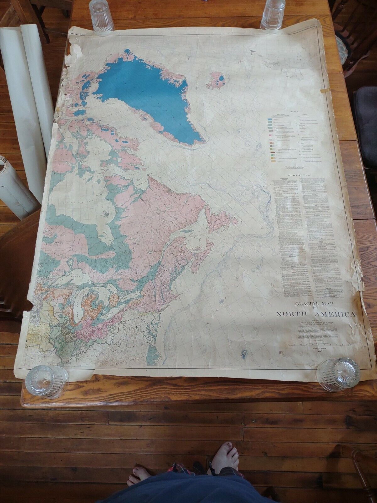
The full color map measures about 40 inches wide, at a scale of 1:125,000 (about a half inch to the mile) and shows many of the folds and faults, the locations of intrusive rocks, and the locations of the wells, plus at least one mine, although no discussion of the mine or mines is provided and I couldn't spot one on the map. This is a great report on this area, and a scarce item these days. It would be of interest to anyone planning a trip to Yellowstone that wants a deeper perspective on the geology of the area.
As always, please read the condition notes.
Expert packing assured. Shipping weight is three pounds. The recent increase in postage rates was pretty big. As a result, Media Mail is now my default shipping method to keep shipping affordable.
Visit my store,
Rockwiler Books and Minerals.
I will continue to add items to my store, so check back frequently.
®
ROCKWILER


