-40%
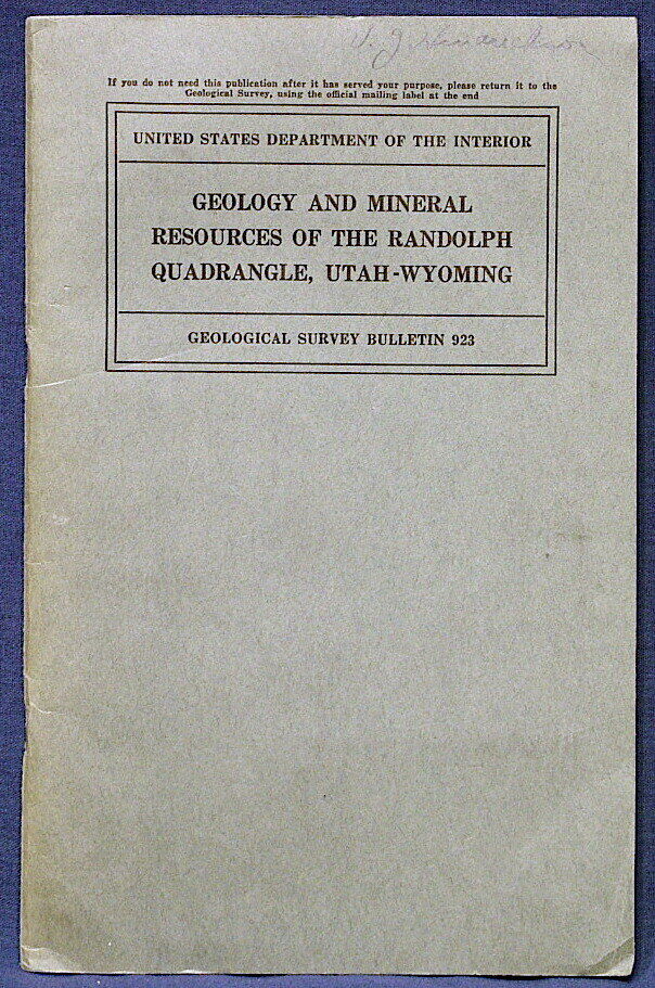
USGS MINERAL RESOURCES of RANDOLPH QUADRANGLE of UTAH-WYOMING Color Map! 1941
$ 8.44
- Description
- Size Guide
Description
SCARCE ITEM!!! ONLY ONE AVAILABLE!!This is USGS Bulletin 923,
Geology and Mineral Resources of the Randolph Quadrangle, Utah-Wyoming
. Published in 1941, there can't be many of these around! The publication consists of a 54-page book, a fold out stratigraphic column diagram, and the original full color map in a pocket in the back of the book.
This report details the geology of an area of about 892 square miles in NE Utah and SW Wyoming, and up to about the Idaho line. About half of Bear Lake is shown on the map. The area includes Bear River Valley,
Bear River Plateau, part of the
Bear River Range, and the Crawford Mountains. Elevations range from 5924 to 9114 feet.
Garden City, Laketown, and Randolph are on the map.
Rocks in the area include Cambrian through Cretaceous formations, including most periods, plus later Tertiary formations. Mineral resources in the area include Phosphate rock, limestone, and small areas of lead and copper mineralization.
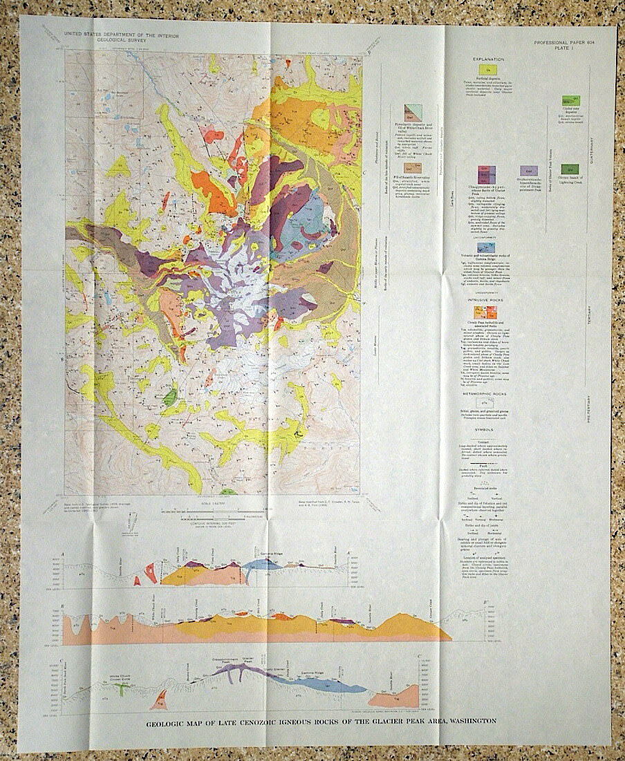
The map here is a real prize. It has a great vintage style and coloration that they got away from in later years. It would honestly look great framed. It is at a scale of 1:125,000, so it takes in a huge area. Five nice cross sections at the bottom of the map help depict the geology and make it come to life.
The Phosphoria formation is prominently colored and easily seen on the map.
This is a cool item for anyone in the area, or any collector of vintage Utah or Wyoming maps. A cool, rare item I have never offered before.
Expert packing assured. The recent increase in postage rates was pretty big. As a result, Media Mail is now my default shipping method to keep shipping affordable.
Visit my store,
Rockwiler Books and Minerals.
I will continue to add items to my store, so check back frequently.
®
ROCKWILER
