-40%
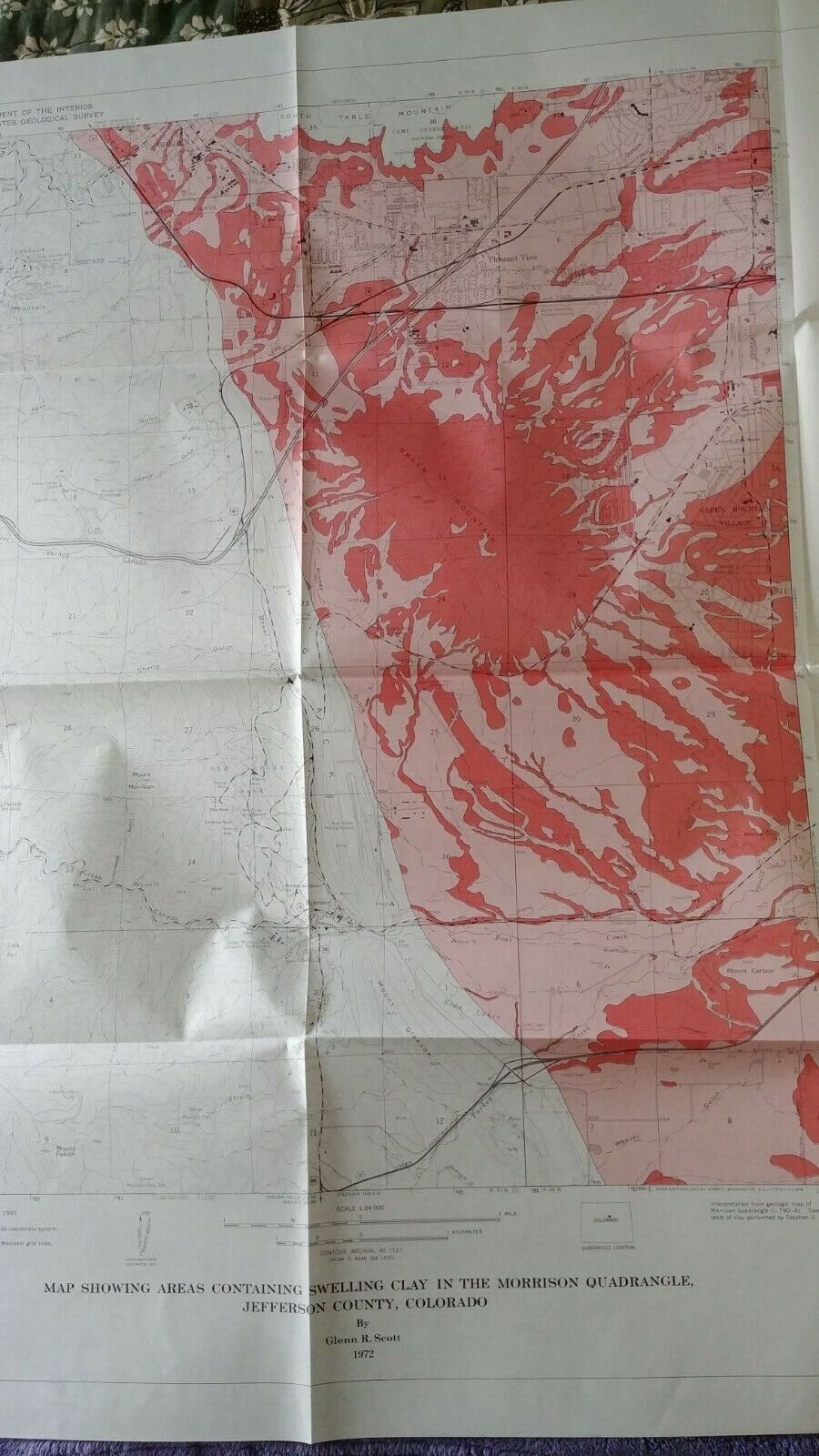
USGS Map Areas Containing Swelling Clay, Morrison Quadrangle, Colorado, 1972
$ 4.19
- Description
- Size Guide
Description
USGS folio map in original sleeve. Map Showing Areas Containing Swelling Clay in the Morrison Quadrangle, Jefferson County, Colorado. USGS Map I-790-C. 1972. Very good condition.We ship within 2 business days of purchase.
