-40%
USGS IDAHO GEOLOGY of the ALDER CREEK MINING DISTRICT, CUSTER Co. FULL COLOR MAP
$ 7.91
- Description
- Size Guide
Description
HUGE COLORFUL MAP!! ONLY ONE AVAILABLE!!This is USGS Bulletin 1252-A,
Geology of Part of the Alder Creek Mining District, Custer County, Idaho
. This 30-page report published in 1968
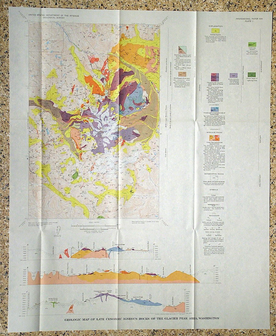
comes complete with the large full-color geologic map. It discusses the complex geology of this mining district in central Idaho. This area was mined for copper, lead, and zinc, and the map covers about 45 square miles of the district. A section at the end discusses the mining production from the area.
The mineralization occurred in skarns where a large intrusion altered the limestones to marble and various calc-silicate rocks. All the formations of this area are described in the text, as well as the structural relations and skarn rocks. The color map is detailed and beautiful It looks like they tried to use every color possible. MacKay Peak is near the center of the map area.
This is a great report on this historic mining area. If you are interested in Idaho geology, this is one for you!
Expert packing assured. The recent increase in postage rates was pretty big. As a result, Media Mail is now my default shipping method to keep shipping affordable.
Visit my store,
Rockwiler Books and Minerals.
I will continue to add items to my store, so check back frequently.
®
ROCKWILER


