-40%
USGS BOULDER CREEK BATHOLITH of the COLORADO FRONT RANGE, With Both Maps 1980
$ 7.39
- Description
- Size Guide
Description
SCARCE ITEM!! COMPLETE WITH MAPS!!This is USGS Professional Paper 1101,
The Boulder Creek Batholith, Front Range, Colorado
.” Published in 1980, this is an item I seldom see! This
88-page book
comes complete with
both original maps
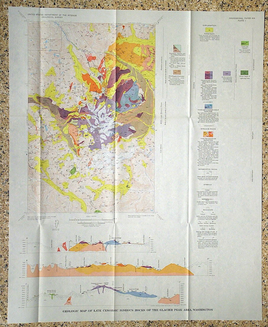
, one of which is color
.
The colored map is 29 inches wide and would look great framed as an interesting piece in a home or business in the Boulder area.
The boulder batholith is once of several similar Precambrian granitic masses exposed in the mountains of Colorado. It measures about 8.7x16.7 miles. This study looks at the various rocks types represented within it, how they vary through the area, relations to the surrounding rocks, plus a fair bit of chemistry and mineralogy of the rocks. Most of the batholith is actually made up of Quartz Monzonite and Granodiorite rather than true Granite. Numerous pictures and diagrams within the text add interest to it and help make the descriptions clearer. The color map is very nice and fills in the understanding very well. The city of Boulder is along the eastern edge of the map.
This would be a great book for anyone interested in the geologic history of this beautiful mountainous area.
Seems like a scarce item, since I seldom see it.
See my other items for other reports and maps covering parts of Colorado.
Expert packing assured. The recent increase in postage rates was pretty big. As a result, Media Mail is now my default shipping method to keep shipping affordable.
Visit my store,
Rockwiler Books and Minerals.
I will continue to add items to my store, so check back frequently.
®
ROCKWILER


